Viking Navigation
Astronomy, Optics & Navigation

Viking Navigation

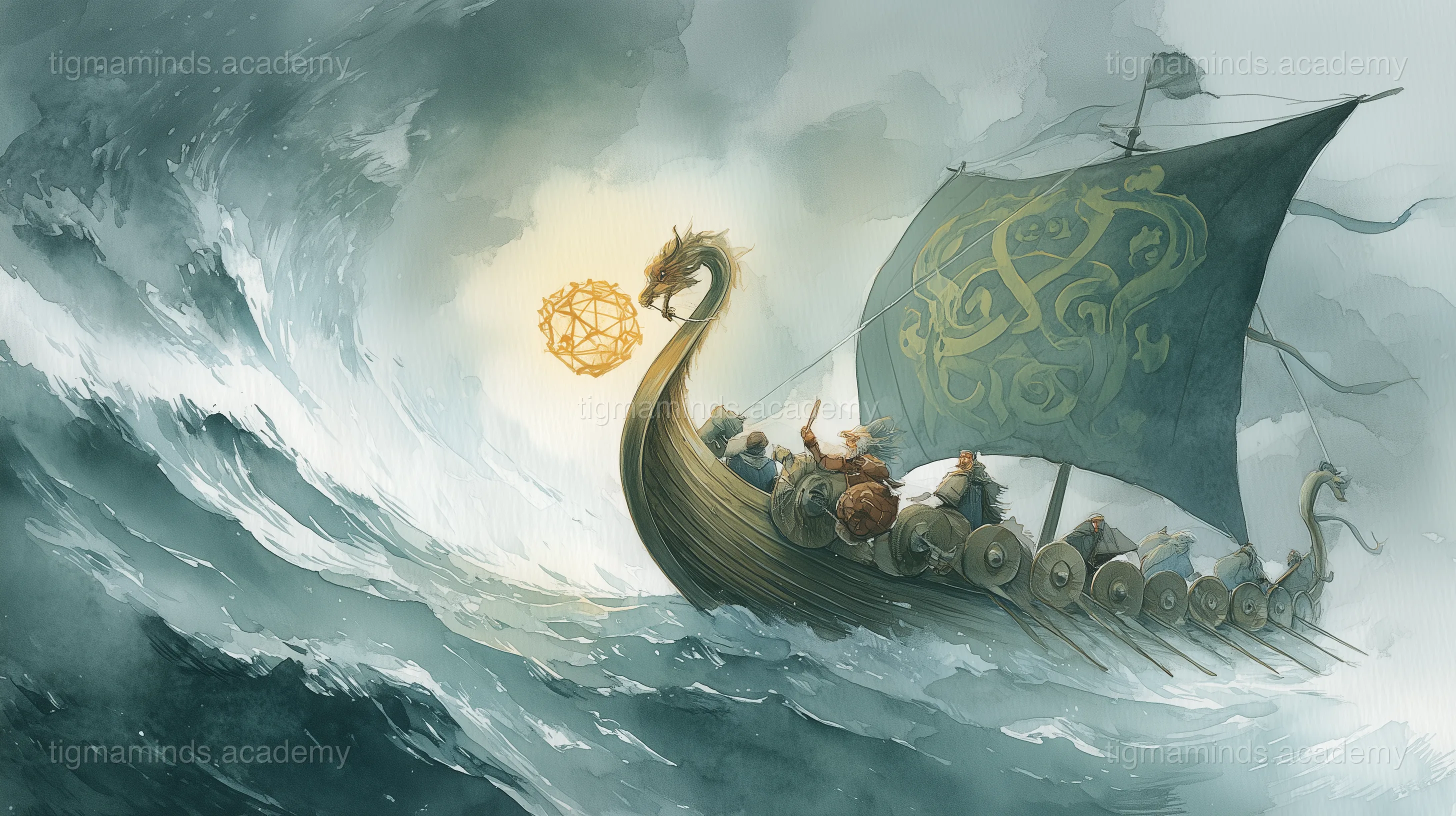
How Norse sailors crossed the Atlantic without compass or sextant — using light, crystals, and the sea itself.

Astronomy, Optics & Navigation12-Month Curriculum 12h

The Story

The Open Atlantic

In the year 1000 CE, a Norse sailor named Leif Erikson stood at the prow of his longship and looked west across the North Atlantic. Behind him lay Greenland — the colony his father, Erik the Red, had founded fifteen years earlier. Ahead of him lay nothing. No land, no landmarks, no maps. Just grey water stretching to the edge of the world.

Leif was going to find what lay beyond.

He had no compass — the magnetic compass existed in China but wouldn't reach Europe for another two centuries. He had no sextant — that wouldn't be invented for seven hundred years. He had no charts — nobody had mapped the western Atlantic.

What he had was the sun, the stars, the waves, and a small, transparent stone that looked like a piece of ice.

The Sunstone

The Norse sagas mention a mysterious object called a sólarsteinn — a sunstone — that Viking navigators used to find the sun's position even when the sky was overcast. For centuries, historians dismissed this as legend. Then, in 2011, archaeologists found a calcite crystal in the wreck of an Elizabethan ship sunk near the Channel Islands.

Calcite is a mineral with a property called birefringence — it splits light into two beams. When you look through a piece of calcite at the sky, you see two overlapping images. As you rotate the crystal, one image gets brighter and the other gets dimmer. When the two images are exactly the same brightness, the crystal is aligned with the direction of polarized light — which always points toward the sun.

This works because sunlight, when scattered by the atmosphere, becomes polarized — the light waves vibrate in a specific direction related to the sun's position. Your eyes can't detect this polarization, but the calcite crystal can. Even when the sun is hidden behind clouds or just below the horizon, the polarization pattern in the sky remains, and the sunstone can read it.

Modern experiments have shown that a trained user can locate the sun's position to within 1 degree of accuracy using a calcite crystal — precise enough for transoceanic navigation.

Reading the Sun

Once you know where the sun is, you can determine direction. The sun rises in the east, sets in the west, and reaches its highest point due south (in the Northern Hemisphere). By noting the sun's position at different times of day, a Viking navigator could maintain a steady course.

But the Vikings needed more than direction — they needed latitude. How far north or south were they? This mattered critically for Atlantic crossings, because the Norse navigation method was called latitude sailing: you sailed north or south until you reached the latitude of your destination, then sailed due east or west along that line until you hit land.

To determine latitude, the Vikings used the sun's altitude at noon. At solar noon — when the sun is at its highest point — its angle above the horizon depends on your latitude and the time of year. A Norse navigator who knew the date (counted from solstices and equinoxes) and could measure the sun's angle could calculate his latitude.

The tool for this was the bearing dial — a wooden disc with a central pin (gnomon) that cast a shadow. By marking the shadow's length at noon and comparing it to known values for different latitudes, the navigator could determine his position to within about one degree — roughly 111 kilometres.

Reading the Sea

But the sun is not always visible. In the North Atlantic, fog and cloud can last for days. When the sky was hidden, Viking navigators turned to the sea itself.

The North Atlantic has a dominant swell pattern — long, low waves generated by prevailing westerly winds far to the south. These swells travel thousands of kilometres and maintain a consistent direction even when local winds change. A sailor who knows the swell direction knows west — and from west, he knows everything else.

The colour of the water told them about depth. Dark blue meant deep ocean. Green meant shallower water, often over a continental shelf. Brown or turbid meant river outflow — land was near.

Birds were living compasses. Certain species — fulmars, gannets, puffins — have known ranges. Puffins, for example, rarely fly more than 100 kilometres from their nesting colonies. Spotting puffins meant land was within a day's sail.

The behaviour of whales indicated ocean currents and feeding grounds. Large whale concentrations marked the boundaries of ocean currents, where cold and warm water met and plankton bloomed.

Even fog was useful. Experienced sailors could sometimes detect land hidden in fog by the echo of waves reflecting off unseen cliffs — a kind of natural sonar.

Vinland

Using all of these techniques — sunstone, bearing dial, swell reading, bird observation — Leif Erikson crossed the North Atlantic in approximately two weeks. He made landfall on the coast of what is now Newfoundland, Canada, at a place the Norse called Vinland — the land of wild grapes.

This was around the year 1000 CE — nearly five hundred years before Columbus crossed the Atlantic in 1492. And the Vikings did it without any of the instruments that Columbus relied on.

The archaeological site at L'Anse aux Meadows in Newfoundland, discovered in 1960, confirmed the Norse presence. Carbon dating of the wood and iron artefacts matches the saga's timeline. Butternut seeds found at the site — from trees that don't grow in Newfoundland — suggest the Norse explored even further south, possibly to New Brunswick or Maine.

The Science of Navigation

The Vikings were not magical. They were scientific — rigorously observational, systematic, and empirical. They built their navigation system from first principles: light behaves in predictable ways, the sun follows a calculable path, the ocean has patterns that can be read.

Every modern GPS satellite, every smartphone compass, every inertial navigation system owes something to the same insight that guided Leif Erikson across the Atlantic: if you observe nature carefully enough, it will tell you where you are.

The end.

Try It Yourself

Choose your level. Everyone starts with the story — the code gets deeper as you go.

Story Progress

0%

Ready to Start Coding?

Here is a taste of what Level 1 looks like for this lesson:

Level 1: Explorer — Python
import numpy as np
import matplotlib.pyplot as plt

# Your first data analysis with Python
data = [45, 52, 38, 67, 41, 55, 48]  # measurements
mean = np.mean(data)

plt.bar(range(len(data)), data)
plt.axhline(mean, color='red', linestyle='--', label=f'Mean: {mean:.1f}')
plt.xlabel("Sample")
plt.ylabel("Value")
plt.title("Astronomy, Optics & Navigation — Sample Data")
plt.legend()
plt.show()

This is just the first of 6 coding exercises in Level 1. By Level 4, you will build: Build a Celestial Navigation Simulator.

Free

Level 0: Listener

Stories, science concepts, diagrams, quizzes. No coding.

You are here

Enrolled

Levels 1-4

Python, NumPy, Matplotlib, real projects, mentorship.

Sign Up Free

Stay Updated

Join Waitlist

Get notified when enrollment opens for your area.

Notify Me

Level 0 is always free. Coding levels (1-4) are part of our 12-Month Curriculum.