TMA
TigmaMinds
Academy
Start Here
Find Your Path
Python Basics
Web Basics
SQL Basics
Arduino Basics
Programs
Overview
12-Month Curriculum
24-Week Bootcamp
Capstones
Lessons
Library
Playground
Log In
Sign Up Free
Back
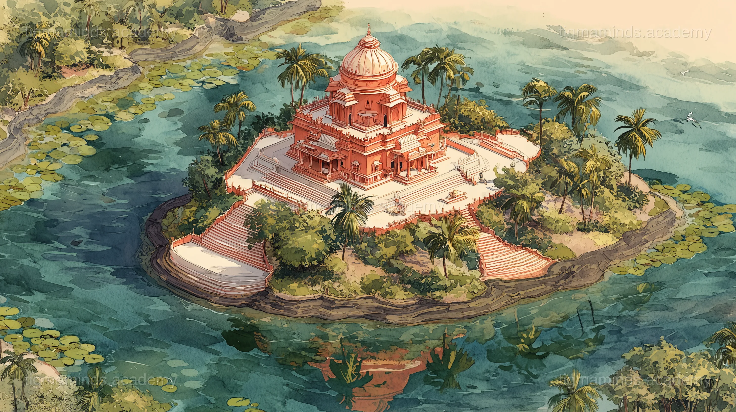
Geology & Plate Tectonics
The Temple on the Turtle's Back
How Tripura's sacred temple sits on a hillock shaped by geology — plate tectonics and erosion.