Wave Physics, Celestial Navigation & Signal Detection
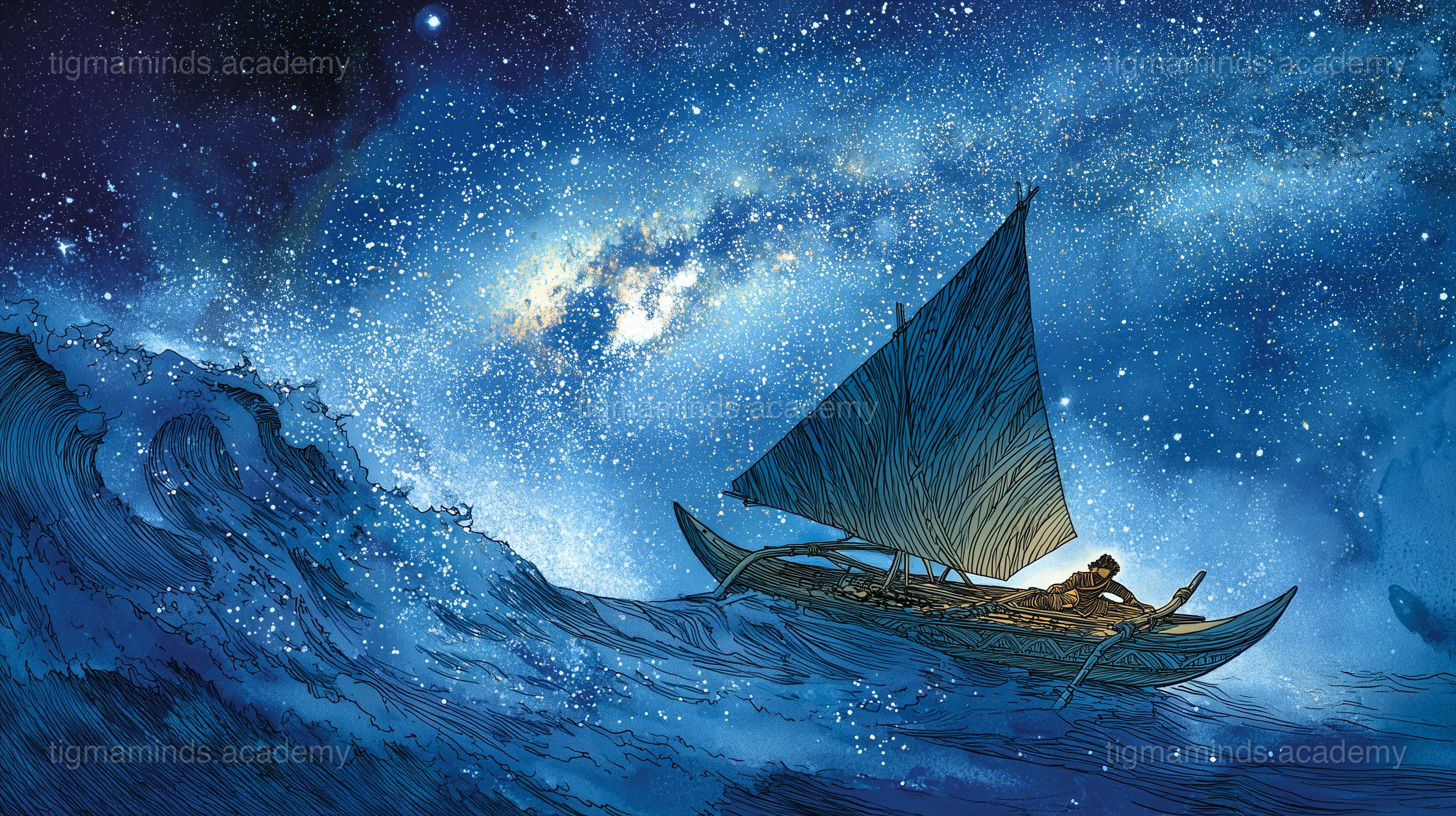
Polynesian Wayfinding
The greatest navigators in human history — star compasses, wave patterns, and crossing the Pacific without instruments.
The greatest navigators in human history — star compasses, wave patterns, and crossing the Pacific without instruments.