
A young scholar, a brass instrument, and a thousand years of Islamic astronomy.
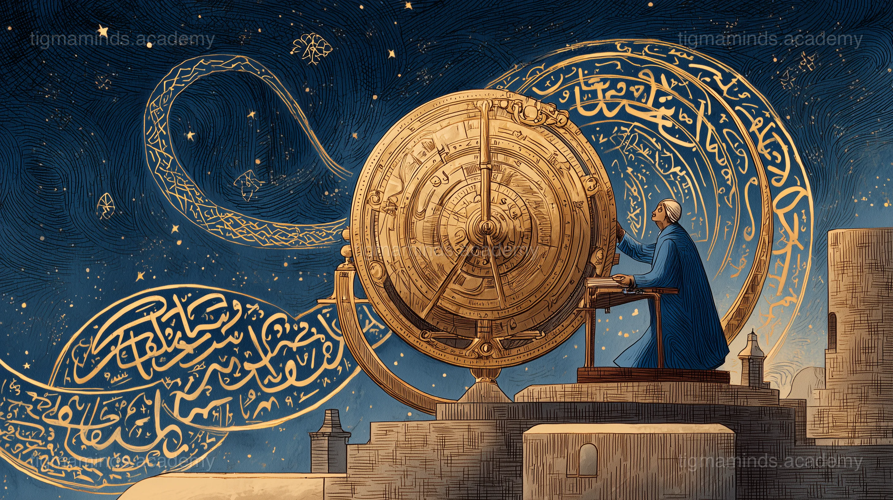
The Scholar's Courtyard
In the year 1024, in the city of Isfahan, the morning call to prayer had just faded when twelve-year-old Zahra slipped into the courtyard of the House of Wisdom — the great library and observatory where scholars from across the Islamic world gathered to study the heavens.
She was not supposed to be there. The House of Wisdom was for scholars, not for the daughter of a coppersmith. But Zahra had a gift that had caught the attention of the old astronomer Ibn al-Haytham: she could look at the night sky and name every visible star, its constellation, and the direction it moved. She had learned this not from books, but from years of sitting on her father's rooftop, watching the stars wheel overhead while he worked late in his workshop below.
"You see the sky," Ibn al-Haytham had told her. "Most people merely look at it."
He had invited her to study with him for one month. Today was her first day.
The Brass Disc
Ibn al-Haytham was waiting by a stone table. On the table lay an object that made Zahra catch her breath: a disc of polished brass, about the size of a dinner plate, covered in the most intricate engravings she had ever seen. Tiny Arabic numerals. Concentric circles. A lacy overlay of curved pointers, each one tipped with the name of a star.
"This," said Ibn al-Haytham, "is an astrolabe."
He picked it up and held it by a ring at the top, letting it hang vertically. "What do you think it does?"
Zahra studied it. The outer ring had numbers from 0 to 360. The face had circles that looked like the altitude lines she had seen on maps. The lacy overlay — he called it the rete — had pointers labeled Vega, Altair, Sirius, Aldebaran.
"It is a map," she said slowly. "A map of the sky."
Ibn al-Haytham smiled. "It is the sky flattened. The entire dome of heaven, pressed onto a brass plate you can hold in one hand. The Greeks invented the mathematics. Islamic scholars perfected the instrument. With this, you can tell the time by day or night, find the direction of Mecca from any city on Earth, predict when the sun will rise and set, measure the height of a minaret, and determine your latitude simply by sighting a star."
"One instrument does all that?"
"One instrument. Some call it the smartphone of the medieval world — and they are not far wrong."
The First Lesson: Flattening the Sphere
Ibn al-Haytham set the astrolabe down and picked up a hollow glass sphere with dots painted on it — stars on a celestial globe.
"The sky is a sphere around us," he said. "But you cannot carry a sphere in your pocket. The genius of the astrolabe is a mathematical trick called stereographic projection. Imagine placing a lamp at the south pole of this sphere and shining it upward. The shadows of the stars fall on a flat plate at the equator. Each star casts a shadow at a specific point. Circles on the sphere become circles on the plate. Straight lines stay straight. The relationships between stars are preserved."
He rotated the glass sphere. The painted shadows moved on the table.
"The tympan — the base plate of the astrolabe — shows the sky coordinates for your latitude. The rete — the rotating overlay — shows the positions of the brightest stars. Turn the rete to match the current time, and the astrolabe shows you exactly which stars are above the horizon, which are below, and where each one sits in the sky."
Zahra picked up the astrolabe. It was heavier than she expected. The brass was warm from the morning sun. She rotated the rete and watched the star pointers sweep across the tympan. Vega rose above the horizon line. Sirius dipped below.
"I am turning the sky," she whispered.
The Second Lesson: Finding North
That evening, Ibn al-Haytham took Zahra to the observatory roof. The sky was brilliant — Isfahan's dry air made the stars sharp as needle points.
"Find al-Jadi," he said. This was the Arabic name for Polaris, the North Star.
Zahra found the two pointer stars of the Great Bear — al-Dubhe and al-Merak — and traced a line upward. There it was: a modest star, perfectly still while every other star slowly rotated around it.
"Now measure its altitude."
He showed her how to hold the astrolabe vertically, sight Polaris through a small hole in the alidade (the rotating sighting bar on the back), and read the angle from the scale. She squinted, adjusted, and read: "Thirty-two degrees."
"And what is the latitude of Isfahan?"
"Thirty-two degrees north."
"Exactly. The altitude of Polaris is your latitude. This is why sailors carry astrolabes. Lost at sea, with nothing but stars and a brass disc, you can determine exactly how far north or south you are."
The Third Lesson: Time Without a Clock
Over the following weeks, Zahra learned to use the astrolabe to tell time. By day, she would measure the sun's altitude using the alidade, set the rete to the sun's current position on the ecliptic, and read the hour from the outer scale. By night, she would sight a known star, find it on the rete, and rotate the rete until star and altitude matched — then read the time.
She learned to predict sunrise and sunset for any day of the year. She learned to find the direction of Mecca from Isfahan (the qibla) by calculating the great-circle bearing between two points on a sphere. She learned to survey the height of the Friday Mosque's minaret by measuring the angle to its top and pacing off the distance to its base.
Each function used the same instrument. Each function relied on the same mathematics: the geometry of circles, the trigonometry of spheres, the elegant trick of stereographic projection that turned three dimensions into two.
The Month's End
On her last day, Ibn al-Haytham gave Zahra a gift: a small astrolabe, freshly engraved by her own father. The coppersmith had been making astrolabes for the observatory for years. He had never told her.
"Your father shapes the brass," said Ibn al-Haytham. "You will shape the mathematics. The astrolabe is a bridge between the hand and the mind — between craft and science. Never forget that one needs the other."
Zahra held the astrolabe up to the sky and sighted Polaris. Thirty-two degrees. She was home, and she knew exactly where she stood — on the Earth, and under the stars.
The end.
Choose your level. Everyone starts with the story — the code gets deeper as you go.
Here is a taste of what Level 1 looks like for this lesson:
import numpy as np
# Stereographic projection: sky to flat disk
def stereo_project(alt_deg, az_deg, lat=28):
"""Project a star's (altitude, azimuth) onto a flat disk."""
alt = np.radians(alt_deg)
az = np.radians(az_deg)
# Radius on the disk (from center = zenith)
r = np.tan(np.pi/4 - alt/2)
x = r * np.sin(az)
y = -r * np.cos(az)
return x, y
# Plot some bright stars
stars = {
"Polaris": (89.3, 0), "Vega": (60, 80),
"Altair": (45, 170), "Deneb": (70, 50),
"Sirius": (15, 210), "Capella": (55, 320),
}
for name, (alt, az) in stars.items():
x, y = stereo_project(alt, az)
print(f"{name:10s}: alt={alt:5.1f} az={az:5.1f} -> x={x:+.3f} y={y:+.3f}")
# What happens to a star at exactly 0 deg altitude (horizon)?This is just the first of 6 coding exercises in Level 1. By Level 4, you will build: Build a Digital Astrolabe Simulator.
By Level 4, enrolled students build: Build a Digital Astrolabe Simulator
Free
Level 0: Listener
Stories, science concepts, diagrams, quizzes. No coding.
You are here
Level 0 is always free. Coding levels (1-4) are part of our 12-Month Curriculum.
Celestial coordinates, stereographic projection, navigation by stars, and the engineering of precision instruments.
The big idea: "The Astrolabe — Mapping the Sky in Your Hand" teaches us about Astronomy & Instrument Design — and you don't need to write a single line of code to understand it.
Before clocks existed, people told time by watching the sky. The Sun rises in the east, climbs to its highest point at noon, and sets in the west. A stick pushed into the ground casts a shadow that moves as the Sun moves — and that is a sundial. The oldest sundials are over 3,500 years old.
Here is the key number: the Earth rotates 360 degrees in 24 hours. That means 15 degrees per hour. If you know the Sunu2019s position in the sky (its angle above the horizon), you can calculate the time. Ancient civilizations across the world — Egyptian, Babylonian, Chinese, Mayan — all figured this out independently.
But here is a problem. When it is noon in Delhi (the Sun is at its highest), it is NOT noon in London — because London is further west, and the Sun has not reached its highest point there yet. Every 15 degrees of longitude equals one hour of time difference. This is why we have time zones: the world is divided into 24 slices, each 15 degrees wide.
Check yourself: If two cities are 45 degrees of longitude apart, how many hours is the time difference between them? (Answer: 45 / 15 = 3 hours.)
Key idea: The Earth rotates 15 degrees per hour. A sundial uses the Sunu2019s moving shadow to tell time. Time zones exist because noon happens at different moments for different longitudes.
Imagine holding a model of the entire sky in your hand. That is what an astrolabe is — a handheld map of the heavens, engraved in brass, that shows where every major star is at any time on any date.
The problem the astrolabe solves is this: the sky is a sphere around us, but you cannot fold a sphere into your pocket. So ancient Greek mathematicians invented a trick called stereographic projection — a way to flatten the sphere onto a flat disk while keeping all the important relationships intact. The most remarkable property: circles on the sphere become circles on the disk. Star paths (which are circular as the sky rotates) appear as circles on the astrolabe.
An astrolabe has three main parts. The mater is the outer frame with degree markings. Inside it sits the tympan — a plate engraved with the altitude and azimuth lines for your specific latitude (a tympan for Delhi looks different from one for Cairo). On top of the tympan sits the rete — a lacy brass overlay with pointers for the brightest stars. Rotate the rete, and you rotate the sky.
Try to picture it: You are holding a brass dinner plate. The plate has circles showing "how high in the sky" (altitude). On top of it, a rotating spiderweb of star pointers. Turn the web to match the current time — and the pointers show you exactly where each star is right now.
Key idea: An astrolabe is a stereographic projection of the celestial sphere onto a flat disk. It consists of a tympan (sky grid for your latitude) and a rete (rotating star map). Turn the rete, and you turn the sky.
Access all 130+ lessons, quizzes, interactive tools, and offline activities
If you stand outside on a clear night and watch the stars, you will notice that they all appear to rotate around one fixed point. In the Northern Hemi...
A modern smartphone has a clock, a compass, a GPS, a calendar, and a calculator. The astrolabe — invented over 2,000 years ago and perfected by Islami...