
Geological erosion over millions of years.
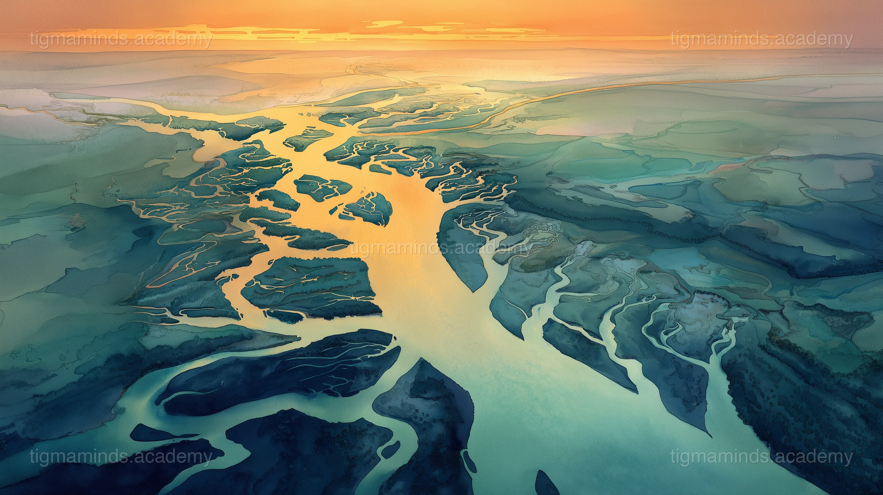
The River That Could Choose
Long before the maps were drawn, when the mountains of Arunachal Pradesh were still young and sharp as teeth, a river was born high in the snow. She had no name yet — she was just meltwater, trickling down from a glacier, looking for a way to the sea.
At the foot of the first mountain, the river came to a fork. On the left was a wide, flat valley — smooth ground, gentle slopes, an easy path. On the right was a wall of rock so steep it made the sky look narrow.
"Go left," said the Valley. "I'm soft and easy. You'll reach the plains in no time."
"Go right," said the Mountain. "But I warn you — I am the hardest stone in the Himalayas. You will struggle every step."
The young river looked left, then right. And then she turned right, toward the mountain.
The Struggle
The Mountain was not exaggerating. The rock was gneiss — ancient, dense, and stubborn. The river pushed against it and barely made a scratch. Days became years. Years became centuries. The river wore herself thin against the stone, grinding grain by grain, carving inch by inch.
Other rivers passed by on easier routes, flowing calmly through wide valleys. "Why are you fighting the mountain?" they called. "Come this way! It's much simpler!"
"Simple isn't the same as good," the river called back, and kept cutting.
Over thousands of years, the river carved a gorge so deep and narrow that sunlight only reached the bottom for an hour each day. The walls rose straight up on either side — striped with minerals, draped with ferns, echoing with the roar of water. It was terrifying. It was magnificent.
The Gorge
The gorge the river carved became one of the deepest in the world — deeper even than the Grand Canyon in faraway America. The Adi people of Arunachal Pradesh, who lived along its rim, looked down into it with wonder and gave the river a name: Siang.
The Siang had done something no easy-path river could do. By choosing the hardest route, she had created something extraordinary — a canyon of such beauty that eagles nested in its walls, rare orchids clung to its cliffs, and the sound of water echoing off stone became a kind of wild music.
The Lesson Downstream
Eventually, the Siang emerged from the mountains and reached the plains of Assam, where she joined the Brahmaputra — the great river that carries all the waters of the Northeast to the sea. She was wider now, calmer, carrying the red soil of the hills in her current.
A young Adi boy named Tani sat on the bank where the Siang meets the plains and asked his grandmother, "Why did the river go through the mountain instead of around it?"
His grandmother, wrapped in a striped shawl, said, "Because the mountain made her strong. The easy valley would have made her wide and shallow — a river you could wade across without getting your knees wet. But the mountain made her deep. Deep enough to carry boats. Deep enough to carve gorges. Deep enough to be remembered."
Tani thought about this. "So the hard path was better?"
"The hard path was harder," his grandmother corrected. "But it made the river into something worth naming. That's not the same as better. It's the same as interesting."
The River's Answer
If you visit Arunachal Pradesh today and stand at the edge of the Siang gorge, you can hear the river far below — roaring, churning, still fighting the stone after millions of years. She has not finished carving. She may never finish. But every year, the gorge is a little deeper, a little more beautiful, a little more itself.
The Siang chose the hard path, and the hard path chose her back. That is the story the Adi people tell their children when the work gets difficult: not that it will be easy, but that the struggle will make something worth telling stories about.
The end.
Choose your level. Everyone starts with the story — the code gets deeper as you go.
Here is a taste of what Level 1 looks like for this lesson:
import numpy as np
import matplotlib.pyplot as plt
# Your first data analysis with Python
data = [45, 52, 38, 67, 41, 55, 48] # measurements
mean = np.mean(data)
plt.bar(range(len(data)), data)
plt.axhline(mean, color='red', linestyle='--', label=f'Mean: {mean:.1f}')
plt.xlabel("Sample")
plt.ylabel("Value")
plt.title("Geological Erosion — Sample Data")
plt.legend()
plt.show()This is just the first of 6 coding exercises in Level 1. By Level 4, you will build: Simulate River Erosion in a Stream Table.
Free
Level 0: Listener
Stories, science concepts, diagrams, quizzes. No coding.
You are here
Level 0 is always free. Coding levels (1-4) are part of our 12-Month Curriculum.
Geological erosion over millions of years.
The big idea: "How the Siang River Carved Its Path" teaches us about Geological Erosion — and you don't need to write a single line of code to understand it.
The speed of a river at any point depends on three factors: the slope (gradient) of the river bed, the volume of water (discharge), and the roughness of the channel. The Siang River — the name for the Brahmaputra where it enters India from Tibet — drops from nearly 3,000 metres to about 150 metres over just 300 km, giving it one of the steepest gradients of any major river.
Flow velocity is not uniform across a river's cross-section. Water near the banks and riverbed flows slower due to friction (boundary layer effects), while water in the center and just below the surface moves fastest. This velocity profile is described by the Manning equation: V = (1/n) R^(2/3) S^(1/2), where n is the roughness coefficient, R is the hydraulic radius, and S is the slope. A smooth, deep channel on a steep slope produces maximum velocity.
The Siang's extreme velocity — in some stretches exceeding 5 m/s during monsoon — is what makes it one of the most powerful erosive forces on Earth. This velocity carries enormous amounts of sediment: the Brahmaputra system transports roughly 800 million tonnes of sediment per year, ranking it among the top three sediment-carrying rivers globally.
Key idea: River velocity depends on slope, discharge, and channel roughness — the Siang's extreme gradient makes it one of the fastest and most erosive rivers on Earth.
River erosion occurs through four mechanisms. Hydraulic action is the sheer force of moving water prying rock apart and lifting loose material. Abrasion (or corrasion) is the grinding of the riverbed by sediment carried in the flow — like sandpaper powered by gravity. Attrition is the collision of sediment particles with each other, rounding and reducing them. Solution (or corrosion) is the chemical dissolution of soluble rock, particularly limestone.
The rate of erosion follows a power law relationship with velocity: erosion rate is proportional to velocity cubed (approximately). This means doubling the river's speed increases its erosive power roughly eightfold. During monsoon floods, when the Siang's velocity and volume spike simultaneously, erosion rates can be thousands of times higher than during dry season.
The Siang has carved one of the deepest gorges on Earth — the Tsangpo Gorge (Yarlung Tsangpo Grand Canyon) — which is over 5,000 metres deep in places, deeper than the Grand Canyon. This extreme erosion is driven by the combination of steep gradient, massive discharge, and tectonic uplift: the Himalayas are still rising, and the river is cutting downward to keep pace, creating a dynamic equilibrium between uplift and erosion.
Key idea: River erosion power scales roughly with the cube of velocity — small increases in speed cause enormous increases in erosive force, which is how the Siang carved one of the deepest gorges on Earth.
Access all 130+ lessons, quizzes, interactive tools, and offline activities
A canyon forms when a river cuts downward faster than the valley walls can erode outward. This requires a river with high energy (steep gradient, larg...