
Seven sisters, seven landscapes — geography as story.
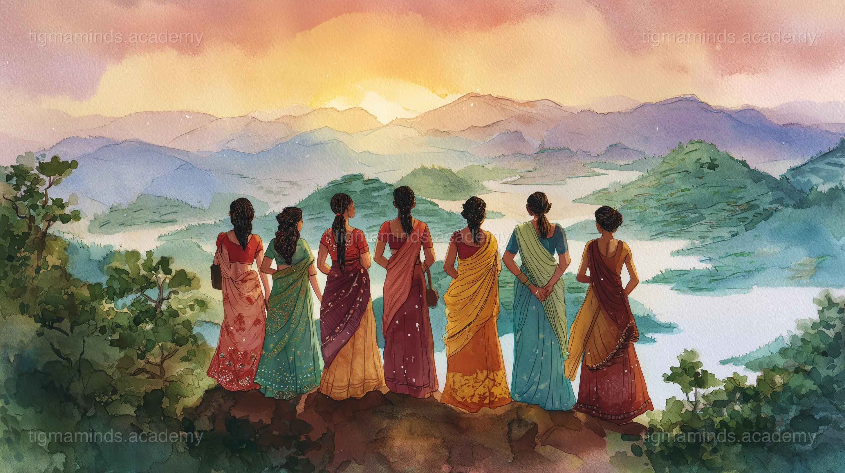
The Seven Daughters
Before there were states and borders and maps, the land that is now Northeast India was one vast, unnamed wilderness. And into this wilderness were born seven sisters — daughters of the great mountain and the mighty river.
Their father was the Himalaya, and their mother was the Brahmaputra. Each daughter was different, and each had her own dream of what a perfect home should be.
Choosing Their Lands
The eldest sister, Arunachal, loved the sunrise. "I want to live where the sun touches the land first," she said. She climbed to the highest hills in the east and built her home there — among snow peaks and orchid valleys and tribes who had lived in the mountains since the beginning of time. Every morning, she is the first to see the dawn.
Assam, the second sister, loved space and water and green growing things. "I want to live where the river spreads widest," she said. She settled in the great valley — the Brahmaputra Valley — where the land was flat and fertile and the river gave life to everything it touched. She planted tea gardens and rice paddies and became the heart of the family.
Meghalaya, the third sister, loved rain. "I want to live where the clouds come to rest," she said. She chose the plateau where the clouds pile up against the hills, where the rain falls harder than anywhere else on Earth, and where the people learned to grow bridges from living roots because the rivers were too wild for wood.
Nagaland, the fourth sister, loved courage and tradition. "I want to live where the warriors sing," she said. She chose the rugged hills where brave tribes built their villages on mountaintops and celebrated their heritage with festivals of feathers and fire.
Manipur, the fifth sister, loved dance and beauty. "I want to live where the lake floats," she said. She found Loktak Lake — the only lake with floating islands — and built her home beside it. She danced so beautifully that her dance, the Manipuri, became famous across the world.
Mizoram, the sixth sister, loved music and bamboo. "I want to live where the hills sing," she said. She settled in the land of blue mountains and bamboo forests, where every village had a choir and the hillsides hummed with the sound of wind through bamboo.
Tripura, the seventh and youngest sister, loved stories. "I want to live where the old tales are kept," she said. She chose the gentle land of lakes and temples, where fourteen tribes kept their histories alive through songs and dances passed down for a thousand years.
The Eighth Brother
Years later, a brother arrived — young Sikkim, a child of the mountains who loved snow and prayer flags and the sight of Kanchenjunga at dawn. The sisters welcomed him as family, and now people sometimes call them the Seven Sisters and One Brother — eight states, eight personalities, one family.
The Bond
The sisters sometimes argue, as sisters do. They have different languages, different foods, different clothes, different ways of celebrating and mourning and falling in love. But they share the same mountains, the same rivers, the same monsoon rain.
And when the rest of the world asks, "Why do you call them the Seven Sisters?" the answer is simple: because they were born together, they grew up together, and no matter how different they are, they are family. And family is the one thing that no map can divide.
The end.
Choose your level. Everyone starts with the story — the code gets deeper as you go.
Here is a taste of what Level 1 looks like for this lesson:
import matplotlib.pyplot as plt
# Compare NE India states: area vs population
states = ["AR", "AS", "MN", "ML", "MZ", "NL", "TR", "SK"]
area = [83743, 78438, 22327, 22429, 21081, 16579, 10486, 7096]
pop = [1.4, 35.6, 3.1, 3.3, 1.2, 2.3, 4.1, 0.7] # millions
fig, ax1 = plt.subplots(figsize=(10, 5))
x = range(len(states))
ax1.bar([i - 0.2 for i in x], area, 0.35, label="Area (km²)", alpha=0.6)
ax2 = ax1.twinx()
ax2.bar([i + 0.2 for i in x], pop, 0.35, color='orange', label="Pop (M)", alpha=0.6)
ax1.set_xticks(x)
ax1.set_xticklabels(states)
ax1.set_ylabel("Area (km²)")
ax2.set_ylabel("Population (millions)")
plt.title("NE India: Area vs Population")
plt.show() # Which state is most densely populated?This is just the first of 6 coding exercises in Level 1. By Level 4, you will build: Build a Comparative Atlas of the Seven Sister States.
By Level 4, enrolled students build: Build a Comparative Atlas of the Seven Sister States
Free
Level 0: Listener
Stories, science concepts, diagrams, quizzes. No coding.
You are here
Level 0 is always free. Coding levels (1-4) are part of our 12-Month Curriculum.
Seven sisters, seven landscapes — geography as story.
The big idea: "How the Seven Sisters Became States" teaches us about Geography & Maps — and you don't need to write a single line of code to understand it.
Look at a political map of Northeast India and you see borders, state names, capitals — human-made divisions drawn on paper. Look at a physical map of the same region and you see mountains, rivers, valleys — natural features that existed millions of years before humans arrived. These are two completely different ways of understanding the same land, and they answer different questions.
A political map answers: "Who governs this territory?" It shows state boundaries (Assam, Nagaland, Meghalaya...), capital cities (Dispur, Kohima, Shillong...), and administrative districts. But it completely ignores terrain — on a political map, the 6,000-meter Himalayas and the flat Brahmaputra valley look the same. A physical map answers: "What does this land actually look like?" It shows elevation, rivers, mountain ranges, and vegetation zones. But it ignores human-made boundaries entirely.
Here is the deep connection: political boundaries often follow physical features. The Brahmaputra valley defines Assam. The Patkai Range separates Nagaland from Myanmar. The Shillong Plateau sets Meghalaya apart from the plains below. Rivers and mountain ridges naturally divide communities — different sides develop different languages, cultures, and identities — and these natural divisions eventually become state borders. Geography creates culture, and culture creates politics.
Key idea: Political maps show human divisions (borders, capitals). Physical maps show natural features (mountains, rivers). Often, the physical features CAUSED the political divisions.
Every map is a lie — a useful, necessary lie, but a lie nonetheless. The real world is enormous. A piece of paper is small. To fit the world onto paper, you must shrink it. The amount of shrinking is called the scale, and understanding scale is the most fundamental map-reading skill.
Scale is expressed as a ratio. A scale of 1:100,000 means that 1 centimeter on the map equals 100,000 centimeters (1 kilometer) in reality. A scale of 1:10,000,000 means 1 cm = 100 km. The first is called a large scale map (it shows a small area in great detail — you can see individual buildings). The second is a small scale map (it shows a huge area with no detail — you can see whole countries but not cities).
No single map can show everything. A map detailed enough to show every house in Guwahati would need to be 10 kilometers wide to cover all of Assam at the same detail level — impossible to print or use. So cartographers choose the right scale for the right purpose: 1:5,000 for a city street map, 1:250,000 for a road atlas, 1:10,000,000 for a wall map of India. Each scale is a trade-off between area covered and detail shown.
Key idea: Scale = how much the real world is shrunk to fit on paper. Large scale = small area, lots of detail. Small scale = large area, no detail. No single scale works for everything.
Access all 130+ lessons, quizzes, interactive tools, and offline activities
Northeast India is one of the most mountainous regions on Earth. How do you show a 3D landscape on a flat piece of paper? The answer is contour lines ...
When India became independent in 1947, almost all of what is now the seven sister states plus Sikkim was part of a single state: Assam. Over the next ...